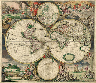
Since, due to the shape of the Earth, it is impossible to create a map which should reproduce the issue by showing the exact distribution of lands and seas, it must be scaled according to a particular relationship, said reduction scale, which expresses precisely , the ratio of the measured distance between two points on the map and the corresponding distance measured on the Earth's surface. A scale of reduction can be numerically and graphically.
In the numerical scale, the relationship between a measured length on the paper and the corresponding length on the earth's surface, is expressed in the form of division (1: N) in which the numerator (1) represents the unity and the divisor (N) expressed number of times in the real distances were reduced on paper. Thus, for example, "1:100,000 scale," it says: a scale to a hundred, it means that measured at 1 cm on the map correspond 100,000 cm, or 1 km on the ground. Since this ratio is expressed as a division, it is clear that the scale of a map will be as large as the smaller the divisor, and vice versa. For example, is larger than 1:100.000 1:500.000. In fact, the Earth's surface has been reduced to 100,000 times in the first case and 500,000 in the second. Therefore any element of Earth, as a city or a mountain, in the first paper is much larger and richer in details than in the second. 1:100.000
1 cm = 1 km
In addition to the numerical scale, often on the cards is also mentioned the scale, ie the graphical representation of the ratio of reduction.
It is divided into two segments parallel many equal sections, called graphic units, each of which is reported on the actual distance on Earth corresponds to 1 cm of the paper. In this way the calculation is easier and more immediate.
Click for more informations

Nessun commento:
Posta un commento